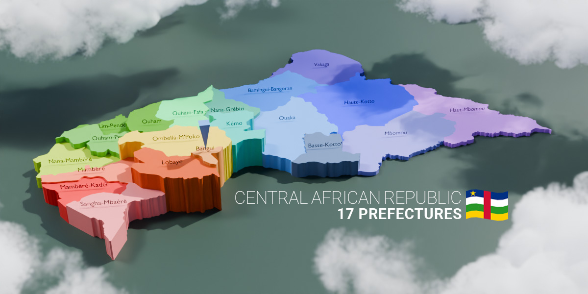
Central African Republic - 17 Prefectures Map (3D + Pre-Rendered Images)
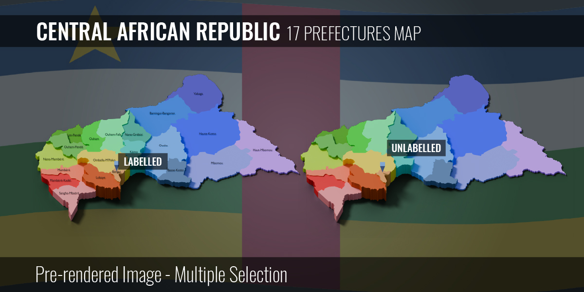

Central African Republic - 17 Prefectures Interactive Map (3D + Pre-rendered Images)
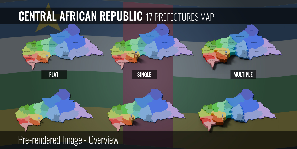
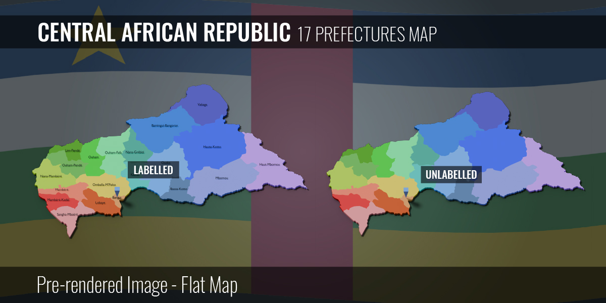
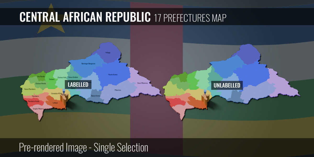
- 17 Prefectures map
- Interactive provinces selection with geo nodes (Only for Blender)
- Customizable extrusion effects
- Amend name with geo nodes
- Hide or unhide names
- Change materials on each provinces
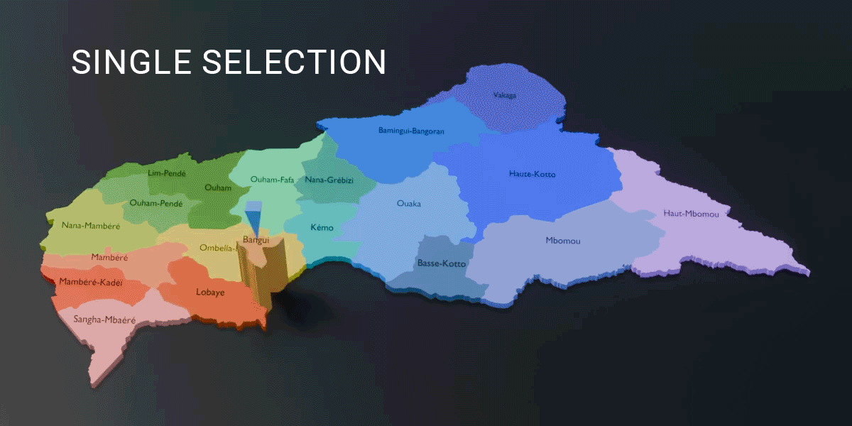
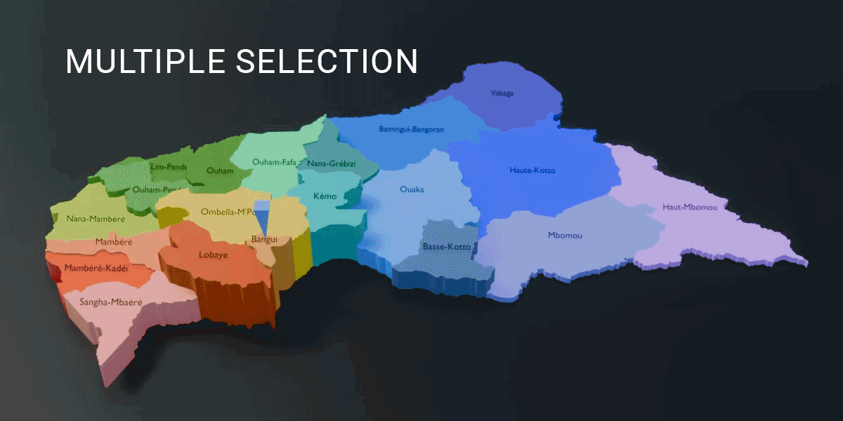
Single or Multiple Selection:

Files in Zip:
- .blender 4.2 project file
- .fbx (non-interactive) - 3 files: Flat, single extrusion & multiple extrusion
- .obj (non-interactive) - 3 files: Flat, single extrusion & multiple extrusion
- .glb/gltf (non-interactive) - 3 files: Flat, single extrusion & multiple extrusion
- .svg - Central African Republic - 17 prefectures map
- .png - 6 pre-rendered images (4000px * 2400px)
Geo Nodes modifiers (Only for Blender):
Change Indicator Mesh:
- Switch indicator mesh from Effector Selection
Single Extrusion Effect Value:
- Refer to tooltips in modifier
Multiple Extrusion Effect Value:
- Refer to tooltips in modifier
# Switch between Flat, Single Extrusion or Multiple Extrusion from "Scenes" at Top Right
Hide or Unhide name in Name Size:
- Default value = 1
- Hide name value = 0
Setup render output in Compositing tab:
- Go to "Compositing" tab
- Select "File Output"
- Select "Base Path" folder icon to choose a desired directory for render output
Discover more products like this
worldmap communes parishes provinces 3D Map States fbx Central Africa cities 3d municipality governorate citi counties png districts islands world map administrative-division SVG departments glb regions The Central African Republic gltf canton Obj map