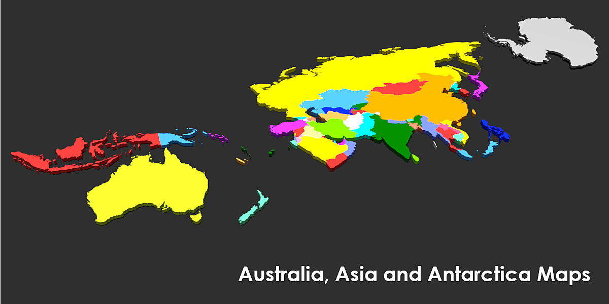
Australia, Asia And Antarctica Maps
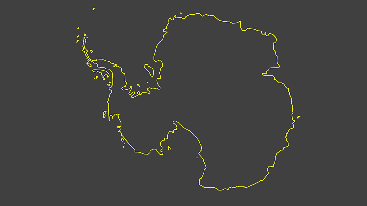
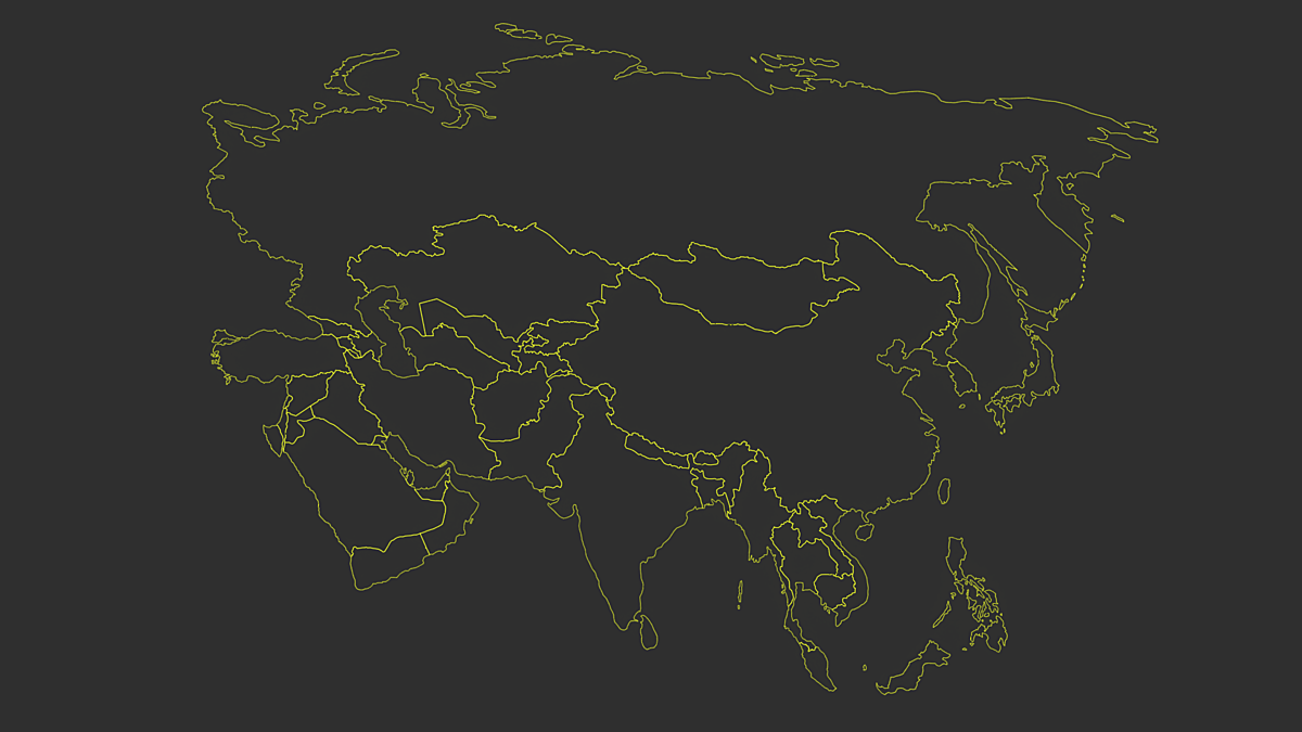
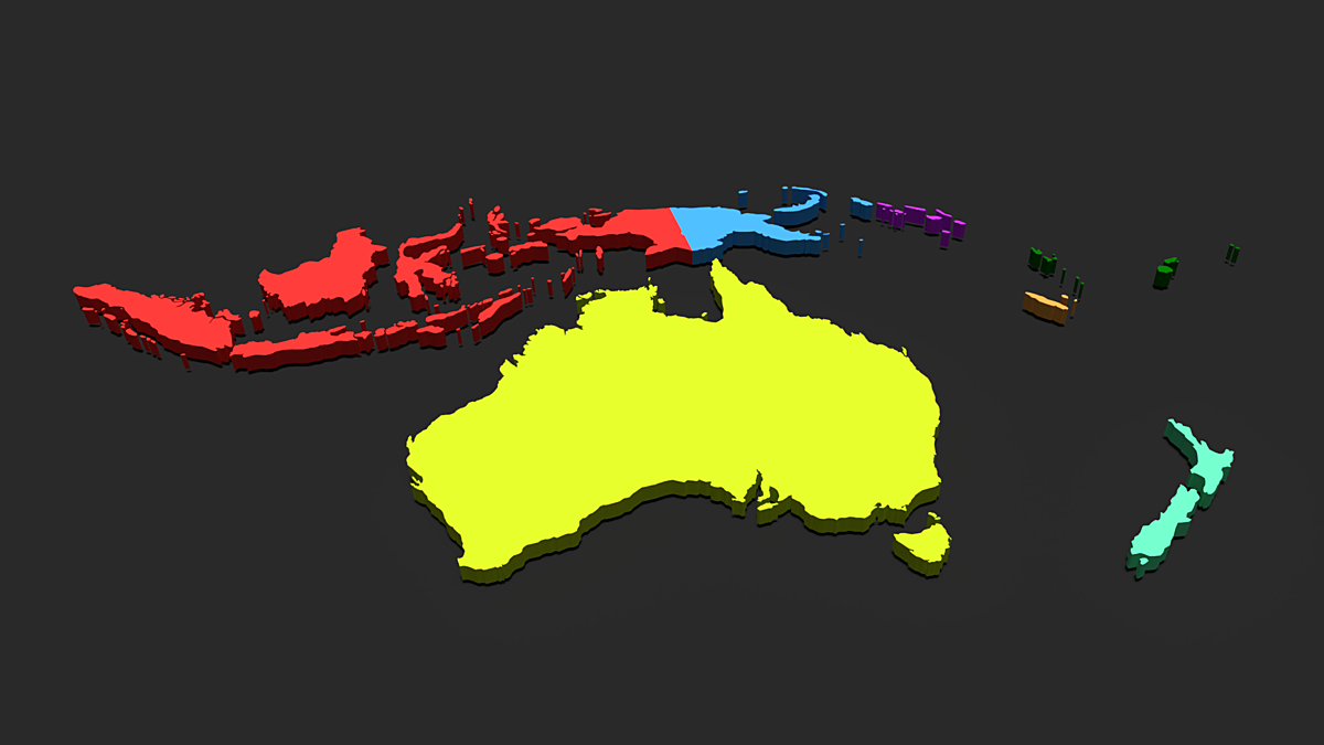
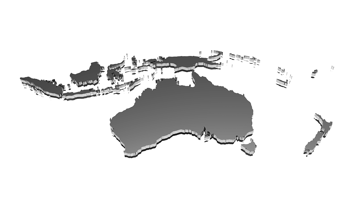
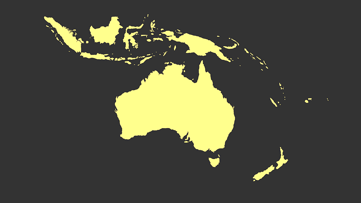
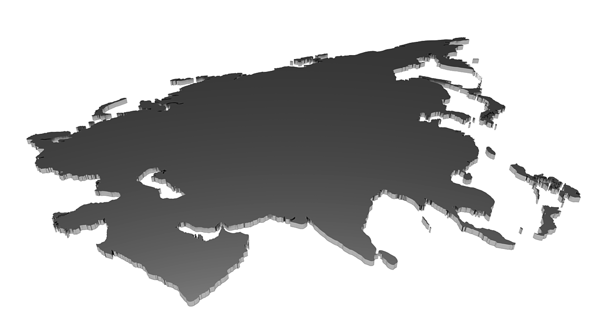
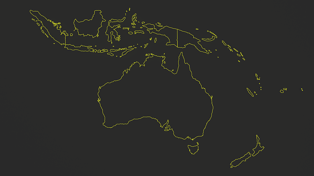
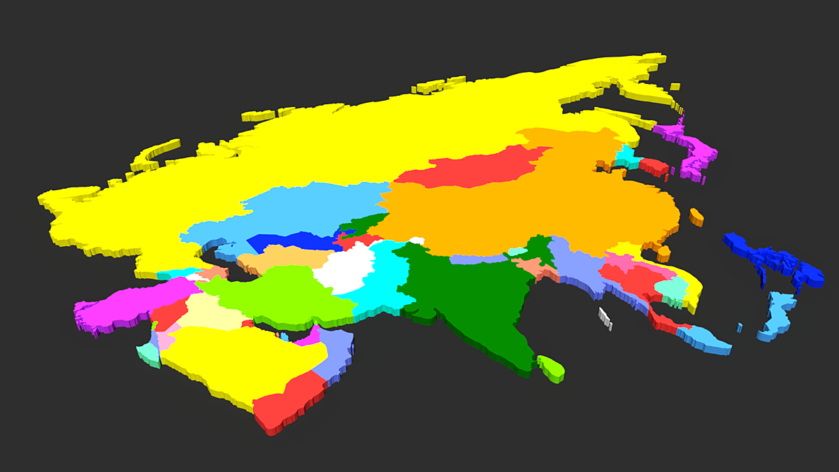
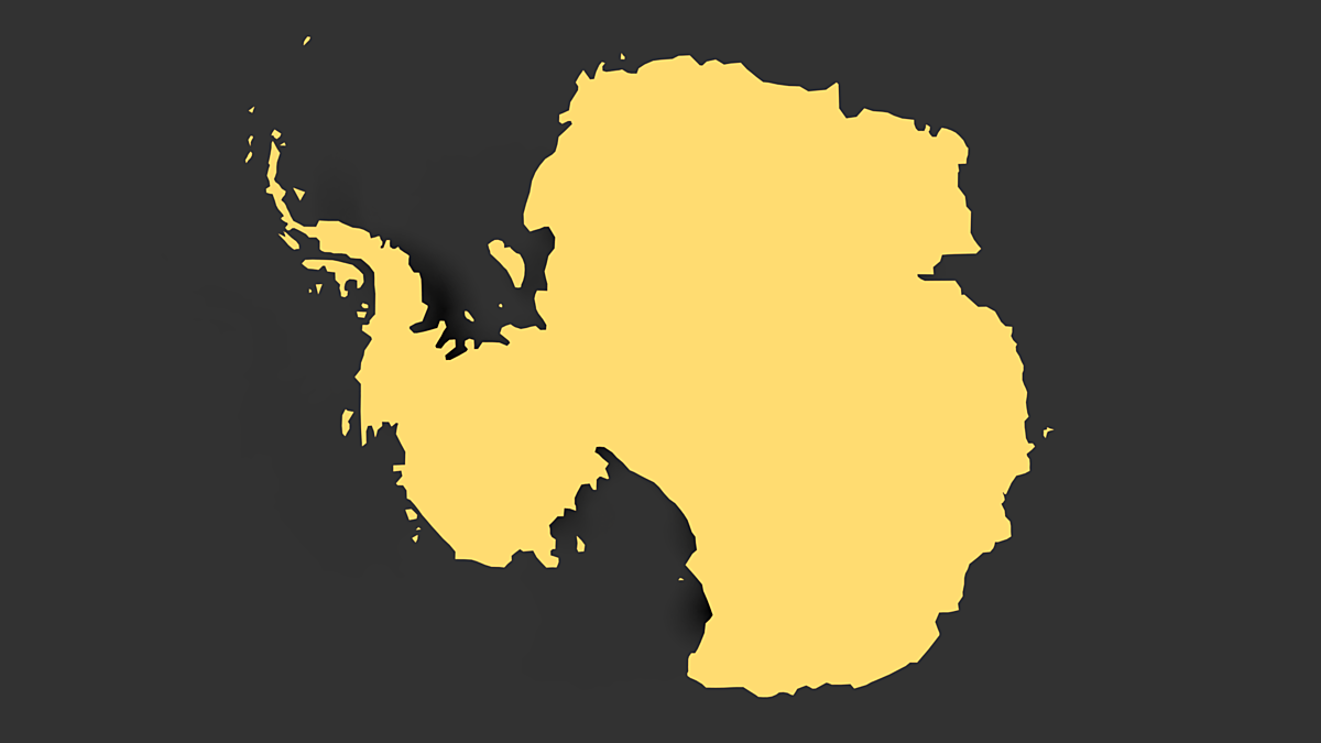
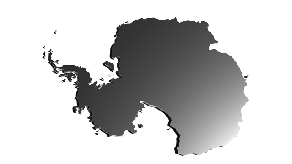
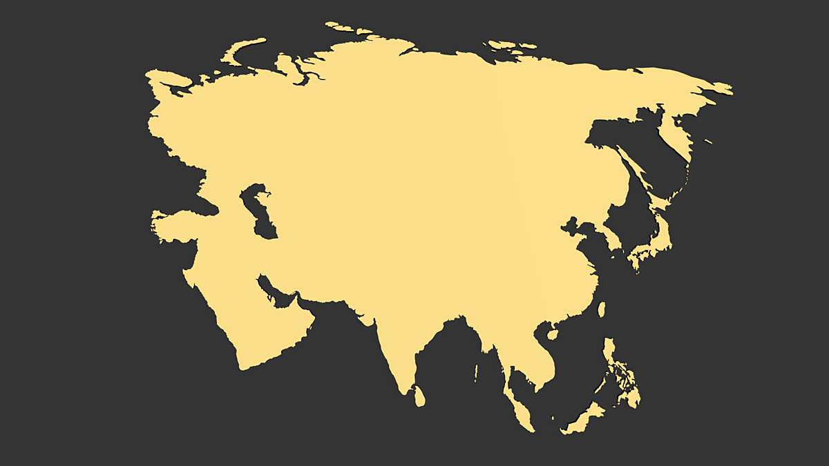
Three separated Blender maps. Package includes 3D and 2D map of Australia and Oceania, Asia and Antarctica. For each continent you can find also political map with states and state borders. Countries in political map are separated and distinguished by colors.
This pack is good starting point for interesting map animations and maps with different effects.
Features:
- Possible Selection by Country Name
- Easy Modification of Map Shapes
- Simple Applying of Textures
- 3D Map, 2D Map, Wireframe Map, 3D and 2D Map also like Political Map with Separated States
- Political Maps with Separated Countries Distinguished by Colors
3D Models are created in Blender 2.79
Discover more products like this
States Australia Map Asia Antarctica maps 3D Map Political Map 2D Map map Australia Continent Asia Map Antarctica Map
